
Southwest USA Loop Safety and Health: 7 Essential Tips for a Worry-Free Trip
The Southwest USA Loop crosses several states, with changing weather and complex terrain. This guide covers 7 essential safety and health tips—from heat and sun protection, altitude sickness, and vehicle emergencies to wildlife precautions, drinking-water supplies, medical care, and cellular coverage—to help you avoid risks in advance. Keep these key points in mind for a safer, smoother self-drive trip through the American Southwest.
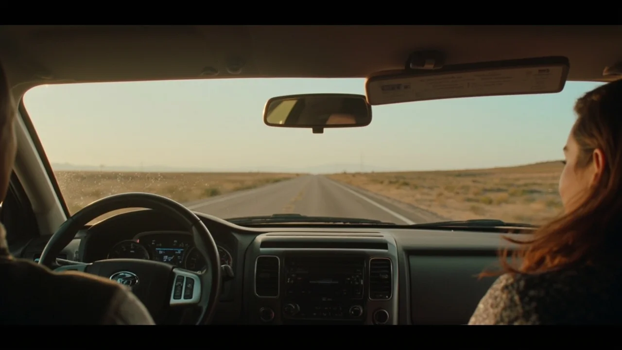
Desert Heat and Heatstroke Prevention
As you drive from Las Vegas into Zion National Park, surface temperatures often exceed 45°C in the afternoon (according to 2025 NPS National Weather Service data, Zion Canyon’s average summer high reaches 41°C). Spending 20 minutes walking after relaxing in an air-conditioned car can still cause dizziness and nausea. Carry electrolyte powder or a potassium-containing sports drink instead of plain water alone, which can dilute the body’s salt levels. Aim for 30ml of water per kilogram of body weight per day, and carry at least a 2L water bottle for each hike. Wear light-colored, long-sleeved, quick-drying clothing, a wide-brimmed hat, and UV400 sunglasses, and avoid prolonged exposure during the strongest sunlight from 11:00–15:00.
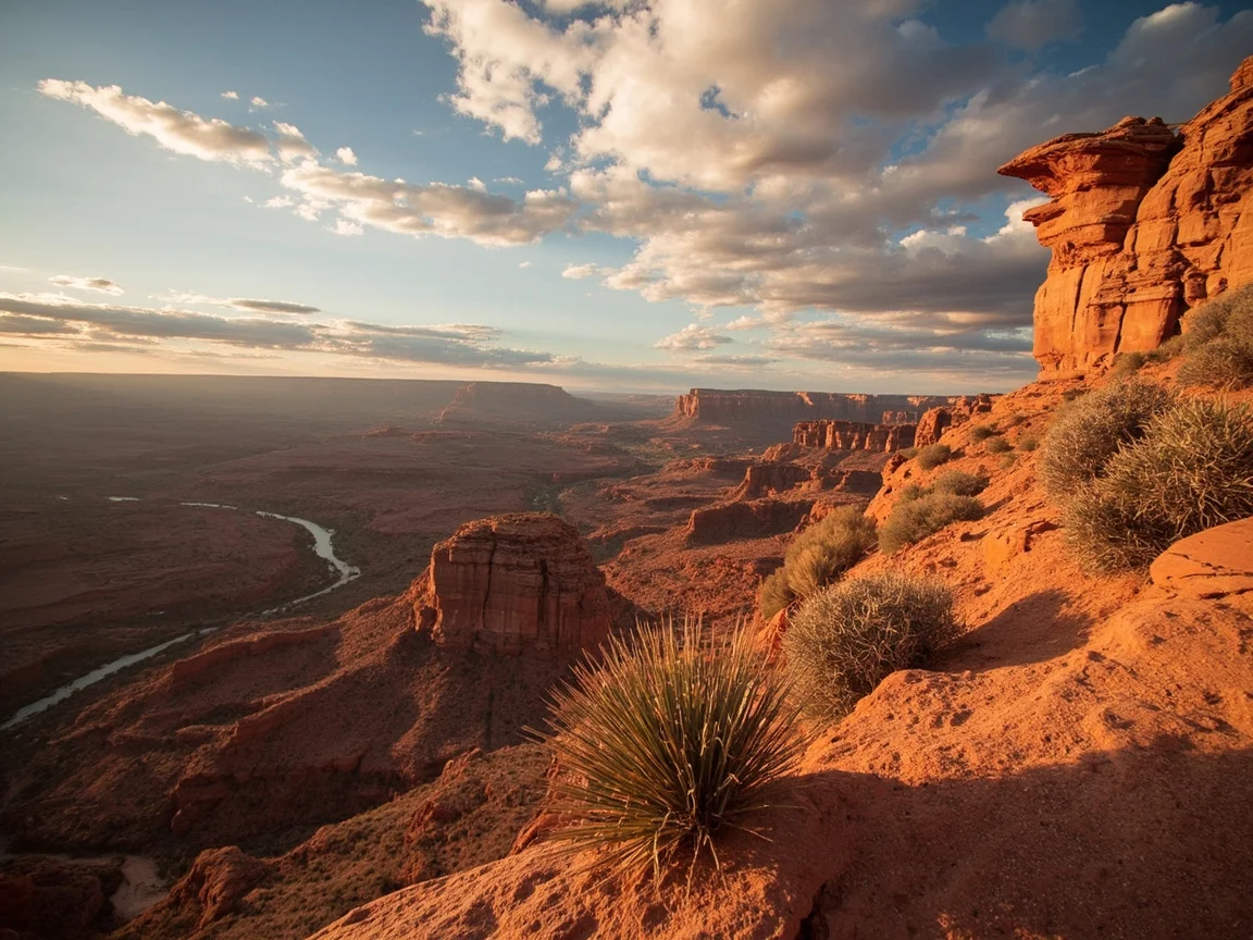
Altitude Sickness and Pacing
Antelope Canyon, Bryce Canyon, and Horseshoe Bend are all located in high-altitude areas between 1,500 and 2,800 meters (according to the USGS, the Horseshoe Bend overlook sits at approximately 1,449 meters). Driving directly from a lower-elevation city may cause headaches, insomnia, and reduced appetite during the first 48 hours. Avoid strenuous hikes for the first two nights, drink plenty of warm water, and avoid alcohol. Carry a pulse oximeter to monitor SpO2; if it remains below 85%, descend to a lower elevation immediately. Getting enough sleep is more important than rushing to more attractions—a Southwest road trip can easily involve more than ten hours of driving, and the risk of fatigue-related accidents is far greater than altitude sickness itself.
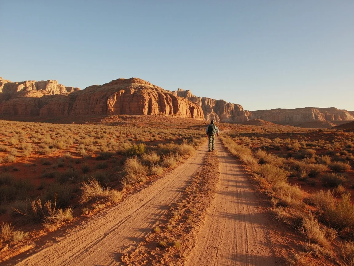
Vehicle Emergencies and Road Conditions
Gas stations along the route are often more than 100 kilometers apart (according to 2024 AAA data, parts of US-89 and US-160 have only 1.4 service areas per 100 kilometers). Before setting out, check tire pressure, the spare tire, jack, engine oil, and coolant. Keep 4L of reserve fuel, a tow rope, and an emergency jump starter in the car. For gravel roads such as the Monument Valley dirt road and the Wave trail, rent a 4WD SUV, as a standard car can easily become stuck in sand. If you encounter heavy rain or dust while driving, turn on your hazard lights, pull over, and wait until visibility improves—patience is safer than speed for unfamiliar drivers on the Southwest Loop.
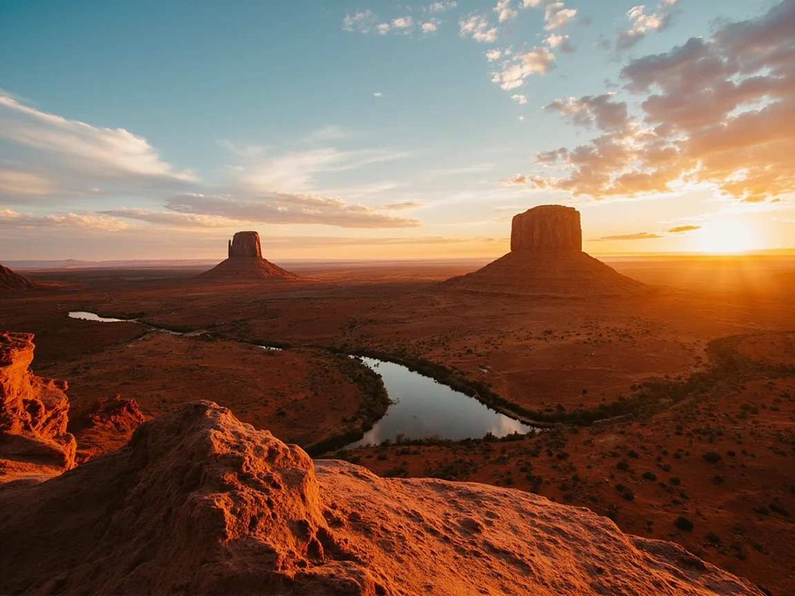
Wildlife Precautions and Emergencies
Rattlesnakes, coyotes, and scorpions are active from April through October. Wear ankle-high boots while hiking, and avoid reaching into rock crevices or turning over fallen logs. If bitten by a snake, do not suck out the venom or apply ice. Keep the affected limb below heart level and drive to the nearest medical facility as soon as possible—the nearest major hospitals are generally in Page or Flagstaff. When camping, store all food inside your vehicle. Bear spray may not be necessary, but bear-resistant containers can be rented at campsites. Do not approach water sources alone at night, as coyotes are often active at dusk.
Cell Coverage and Navigation Devices
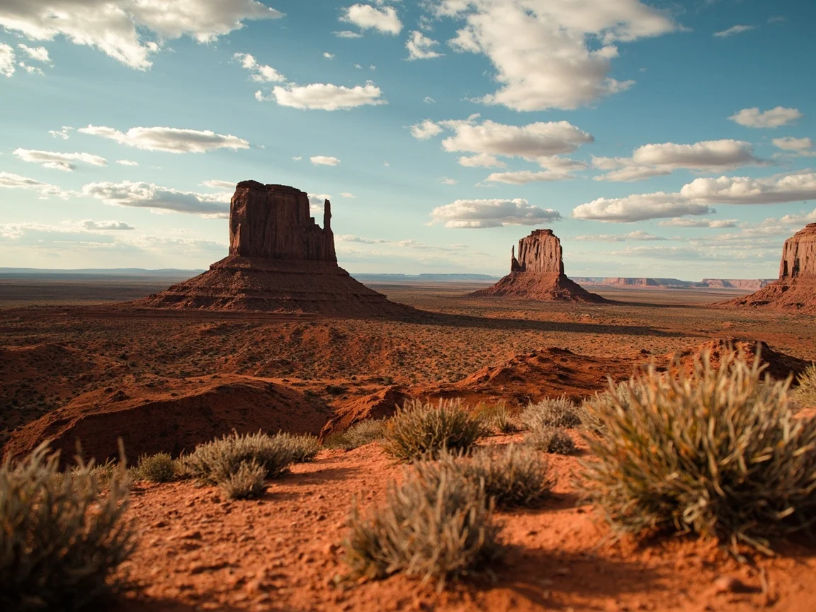
Antelope Canyon, the Wave trail, and remote areas of Zion have little to no cellular service (according to the FCC’s 2025 coverage maps, 30% of northern Arizona still lacks coverage from major carriers). Rent an offline GPS device, such as Gaia GPS with downloaded USGS topographic maps, or carry a satellite communicator such as Garmin inReach or SPOT X to send an SOS in an emergency. Before setting out, share your daily itinerary and checkpoints with family or friends, and agree on a rescue plan if you are unreachable for more than 24 hours.
Southwest USA Loop Pitfall Checklist
- ❌ Do not try to fit the entire route into 7 days—actual driving time is 20–30% longer than map estimates.
- ❌ Do not book outdoor camping in June through August, when heat and thunderstorm risks are both high. Accommodation is limited during peak season, so consider a city hotel in Flagstaff instead.
- ❌ Do not blindly follow Google Maps’ “shortest route,” as some dirt roads can become mud pits after rain.
- ❌ Do not feed squirrels or crows in national parks; violations can result in fines of up to $5,000.
- ❌ Do not overlook the one-way drop fee in your rental agreement—a one-way trip from Las Vegas to Phoenix may add $200 or more.
- ❌ Do not leave valuables in your car overnight; vehicle break-ins commonly occur in tourist areas during independent travel.
- ❌ Do not forget time-zone and daylight saving time changes. Arizona does not observe DST year-round, so note the time difference from Utah and Colorado in your itinerary.
Frequently Asked Questions
What is the best season for a self-drive trip on the Southwest USA Loop? Spring and autumn (March–May and September–October) offer moderate temperatures and fewer thunderstorms. Summers bring intense heat and sun exposure, while winter can bring snow and road closures in the northern mountains.
How are medical facilities distributed along the route? Page, Flagstaff, Las Vegas, and Albuquerque have 24-hour emergency departments. Smaller towns generally offer only urgent care, and serious cases may require helicopter transport.
Do I need additional travel insurance? Choose a policy that covers off-road rescue and helicopter medical transport. Regular health insurance may not apply out of state, and rescue costs in remote areas can quickly reach thousands of dollars.
Further Reading and References
- Southwestern United States – Wikipedia
- Zion National Park Safety Tips – NPS
- Arizona State Tourism – Experience AZ
- Lonely Planet: Southwest USA Road Trip Guide
A safe Southwest USA Loop is never the result of “good luck.” It comes from the preparation you do before departure—put the variables on your checklist so you can travel with greater freedom on the road.
Related articles
Hotels in Yellowstone Montana: How to Get There Most Conveniently – Comparison of 4 Main Transport Options & Ticket Booking Guide
Looking to book hotels in Yellowstone Montana but unsure how to get there most conveniently? This guide systematically compares four main transport options—self-drive, flight, train, and bus—outlining travel time, ticket prices, suitable travelers, and booking channels. It also includes practical pitfall-avoidance tips for arriving at Yellowstone gateway airports and car rental locations, helping you sort out Montana Yellowstone accommodation and itinerary connections in one go.
Anchorage: 9 Practical Tips Only Regular Visitors Know – An Essential Pre-Trip Guide
How to explore Anchorage without the hassle? This pre-trip guide gathers 9 practical tips only seasoned visitors know, covering self-drive routes, accommodation choices, local food, and seasonal pitfalls—helping you plan ahead, avoid detours, and easily enjoy Alaska's largest city.
Kauai Solo Travel Complete Guide: 7 Safe, Free and Hassle-Free Arrangements
The Kauai Solo Travel Complete Guide focuses on two core pillars—safety and freedom—curating 7 hassle-free arrangements covering accommodation selection, local cuisine, seasonal windows, and holiday pitfall-avoidance tips. Whether you're a first-time solo traveler or a seasoned explorer, you can plan your itinerary at your own pace, embracing solitude while minimizing risk. Presented in a FAQ + pitfall-avoidance format, this guide helps you avoid detours and save time for the real scenery.
Weather in Maui This Weekend & Best Month to Visit: 2026 Full-Year Weather, Crowd, and Price Comparison
Wondering about weather in Maui this weekend and the best month to visit? This guide fully compares weather, crowd levels, and airfare/hotel price curves from January to December 2026, covering wet/dry season differences, holiday peaks, and shoulder-season gaps. Combined with a food exploration angle, it recommends must-try Hawaiian seafood and local food trucks by month, with a one-click conclusion for the best travel month.
A professional and thoughtful travel assistant website, dedicated to building a one-stop platform for trip planning and destination exploration. The platform brings together a wealth of high-quality travel resources, delivering diverse itinerary inspiration covering niche domestic getaways and popular overseas destinations. It also offers detailed and practical travel guides, including dining and accommodation recommendations, transportation tips, and pitfall avoidance advice, along with smart travel tools that customize suggestions based on trip duration, budget, and preferences, simplifying the complex preparation process and making every trip stress-free and full of new experiences.
View all articles →